The King Tide Reaches Nuatambu’s Taro
Saltwater enters the taro patch quietly. During a king tide in Nuatambu, it seeps through the soil around a family’s crop and settles at the roots. The damage becomes visible later, when the softened taro is lifted and found rotten before harvest. Opening the photographic series on that root gives climate displacement a domestic scale: the first recorded loss is food rather than land.
The assignment ran through a 14- to 18-day shooting window during the late-2022 king tide season. Regional measurements used for the project placed the annual rise in king tide water levels at 7 to 9 millimeters. Such movement resists the conventional grammar of disaster photography. There is no single instant of impact, only a higher reach of water followed by crop failure, damaged structures and decisions about whether a home remains viable.
Nuatambu’s Inundation in Close Focus
A tight frame of the taro root carries information that a broad view of the ocean cannot. Its broken skin, wet soil and decaying flesh locate environmental change inside the household economy. The image also establishes a chain of evidence: tide, salinity, damaged crop and altered routine. Wider photographs then place that chain within the Solomon Islands, where vulnerable coastal settlements face the practical consequences of a changing shoreline.
The useful frame preserves both scales at once: millimeters in the tide record and a harvest lost in the hand.
Salt, Timber and the Visual Record of Slow Damage
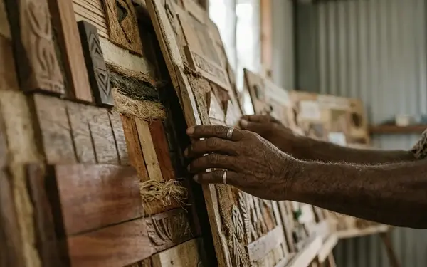
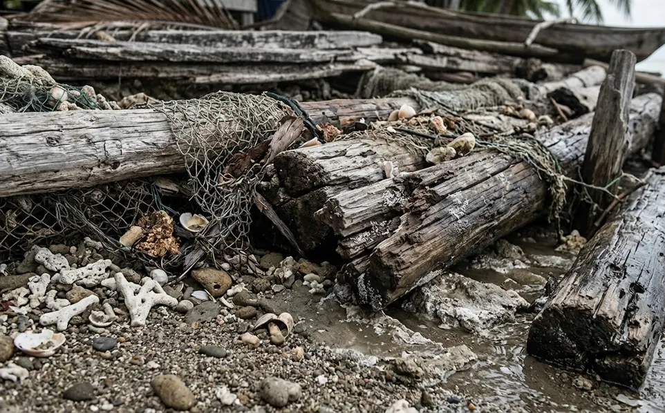
Coastal texture makes elapsed time legible. Salt-bleached wood, watermarks on stilt homes and vegetation dying from the roots record repeated exposure. These details resist the visual shorthand of a breaking wave or an isolated flooded room. They show accumulation, which is the defining condition of slow environmental violence.
The initial plan favored wide aerial photographs of the shrinking island perimeter. From above, however, the geometry of the coast overwhelmed the human cost. The team replaced that emphasis with 100mm macro lenses, using standard 35mm glass for environmental portraits. Rotting stilts and corroded domestic surfaces became evidence tied to homes rather than abstract patterns on a map.
Dawn Light Across Salt-Bleached Surfaces
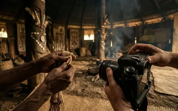
Photographers worked in the short window after first light, roughly between 05:30 and 06:15, when low light cut across timber and exposed the ridges left by salt, moisture and decay. Macro photographs made those marks prominent; portraits restored their social context. Used together, the two focal lengths established the environment as an active presence in daily life.
Beauty creates an ethical tension here. Controlled light can give damaged wood considerable aesthetic force, yet the object remains part of somebody’s house. Editing must retain signs of habitation, repair and use so that formal composition never converts material loss into decorative ruin.
Matching Melanesian Testimony to Tide-Gauge Dates
Portraits and personal accounts gain evidentiary weight when editors can place them against a measured event. For this series, local tide-gauge records collected between November 2021 and February 2022 showed inundation depths of 12 to 16 centimeters above the historical high-water mark. Editors matched dates of the highest recorded inundations with residents’ accounts of failed crops and water entering familiar spaces.
The Cross-Referencing Threshold
The method begins with chronology. A portrait date, tide reading and account of damage must describe the same period before they can appear as a connected sequence. Editors can then examine where the water reached, which routine changed and whether earlier imagery supplies a defensible baseline.
- Fix the photograph to its capture date and precise coastal setting.
- Locate the corresponding high-water reading in the local tide-gauge record.
- Compare visible marks with prior photographs or established historical reference points.
- Pair the image with testimony describing a specific crop, structure or daily activity.
- Keep the measurement and the resident’s account distinct in captions while showing their temporal relationship.
This discipline prevents a portrait from carrying more scientific meaning than the frame can support. Photography can document a watermark, a dead plant or a displaced household object. It cannot quantify sea-level rise by itself. Visual evidence of erosion remains reliable only where historical baselines exist; without earlier photographs or local tide-gauge observations from the preceding decade, climate-driven rise cannot be separated confidently from seasonal coastal shifting.
That qualification narrows the claim while strengthening the archive. The final record combines scientific observation with lived experience, allowing each source to answer a different question: the gauge establishes water level, while the photograph shows what that level did inside a community.
Sequencing Atolls, Homes and Acts of Adaptation
A gallery visitor first encounters scale. The exhibition opens with a 1.2-meter-wide establishing print of the atoll, large enough to hold the vulnerable geography in a single field of view. The sequence then steps down to 8-by-10-inch domestic details. Viewers must move closer to inspect a repaired wall, a waterline or the material traces of relocation.
From Geographic Scale to Intimate Distance
The same pacing shaped a 45-image photobook assembled over a six- to eight-month editing period. Wide frames orient the reader; environmental portraits establish who occupies the coast; close details reveal adaptation as practiced work. Repetition deserves strict control. Several photographs of eroded edges may document extent, but one coastal view followed by a domestic consequence often communicates the relationship more precisely.
- Establishing images define the atoll’s scale and exposure.
- Environmental portraits connect residents with cultivated ground, homes and routes through the settlement.
- Domestic details show repair, storage, food preparation and the marks left by water.
- Transition frames preserve cultural continuity as families adapt or relocate.
Print size becomes part of the editorial argument. Large landscapes permit observation at a distance, while smaller prints ask for physical attention. That movement should deepen recognition rather than invite scrutiny of hardship for its own sake. Dignity resides in agency, gesture and cultural continuity, so the sequence must show residents acting within their environment instead of appearing as anonymous symbols of climate risk.
Photographs as the Last Archive of a Changing Map
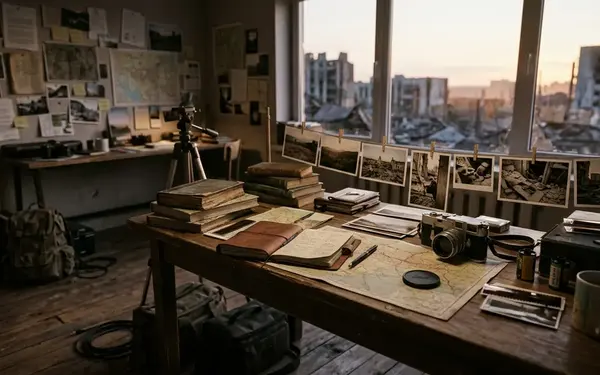
Documentary photographs eventually outlive the coastlines they describe. Captions, dates, tide references and geographic identifiers turn a visual narrative into a historical record that can be compared with later maps. The photographer therefore records more than displacement: the frame preserves the former location and physical character of land that may cease to appear above water.
Five Islands Removed From the Record
The region’s changing geography has already been measured through historical comparison. Research covering 1947 to 2014 reported the documented loss of five vegetated reef islands in the Solomon archipelago. For an editor, that finding changes the status of an establishing photograph. A shoreline image may become the final verifiable depiction of a named place rather than an illustration of a general climate theme.
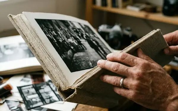
The strongest archive retains original files, complete captions and the relationship between image dates and environmental observations. It also protects the names and routines that gave the landscape meaning. Without that context, the photograph proves that land existed while saying little about the community formed around it.
The scale of disappearance is stark: the five lost vegetated reef islands measured from 1.2 to 4.5 hectares each.